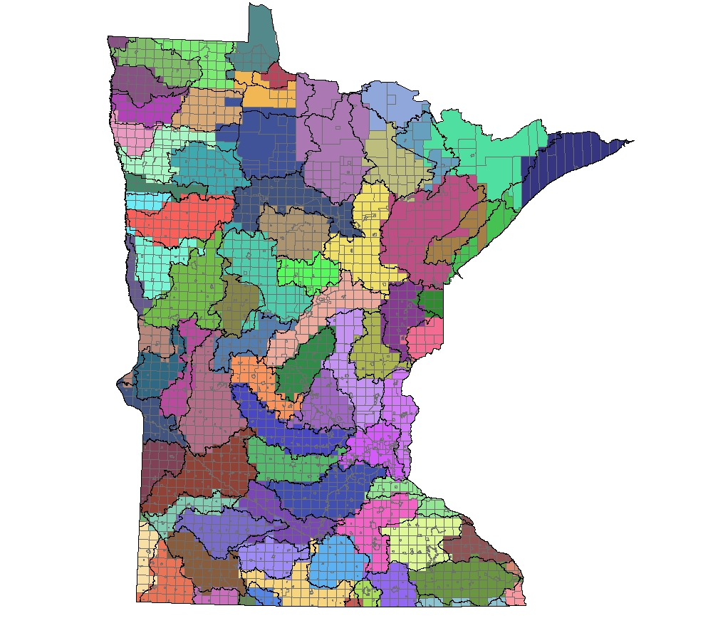
To permit the aggregation of land economics information to watersheds, we assigned each minor civil division (city or civil township) to a single watershed. Most of the data in Minnesota Land Economics is located only to the MCD level. Where, as is frequently the case, an MCD lies in two (or more) watersheds, we assigned it to the watershed that contained the larger proportion of the MCD. The assignments are shown in the map below. This assignment process works well in most areas, because MCDs tend to be small in size. In the northeastern portion of the state, however, dominated by forests, bogs, and relatively large (and often unorganized) townships, this tiling works less well. Consequently, we do not provide watershed level aggregations in those areas. If you want sub-basin data for these areas, use County or NASS District aggregations.